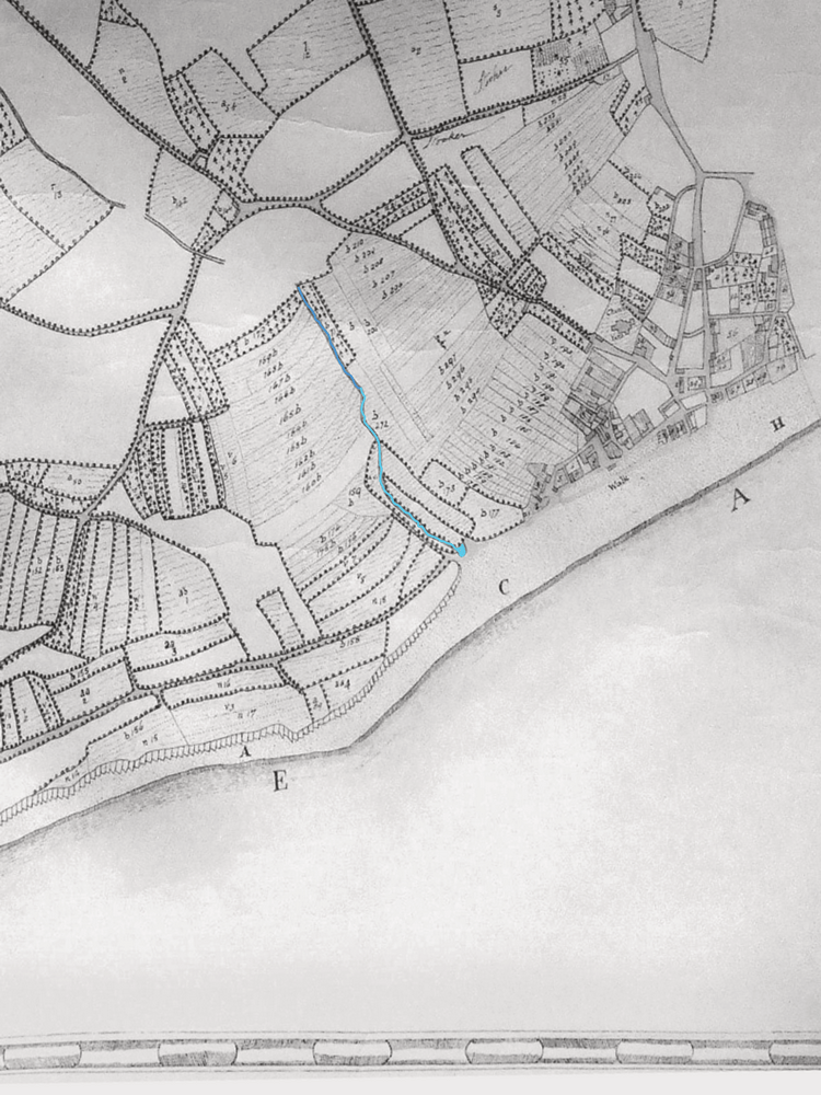
Maps through time
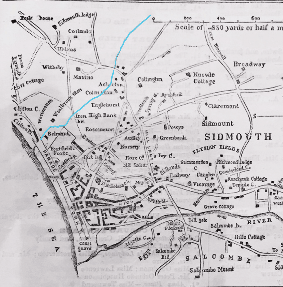
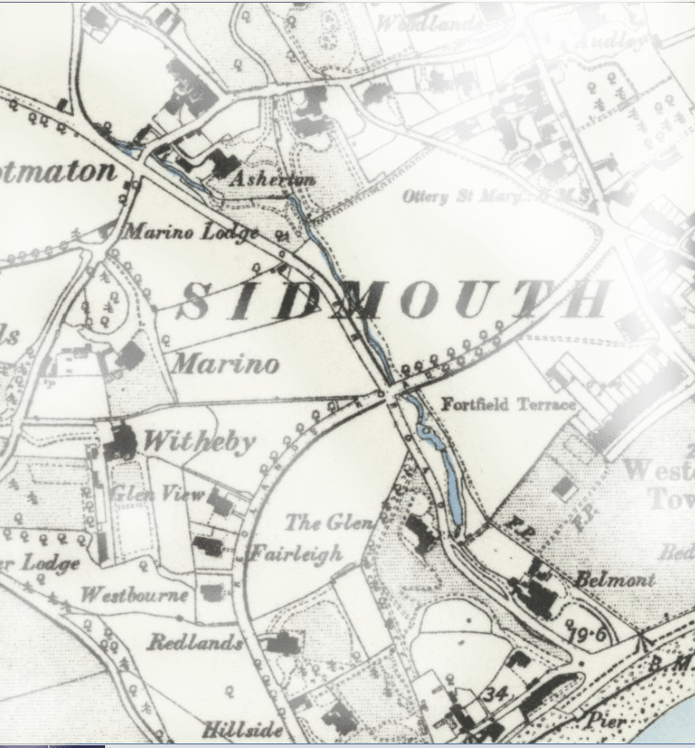
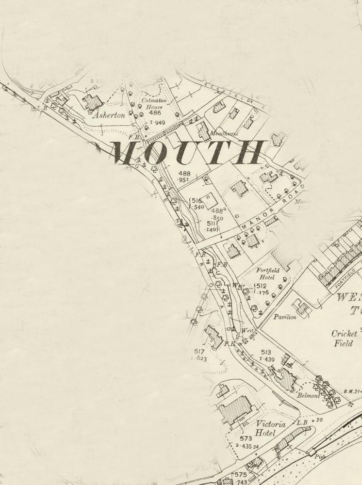
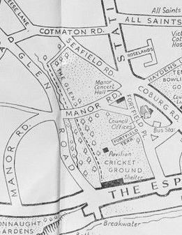
Obviously the stream and its course have been there for a long time and at one stage were very much on the outskirts of Sidmouth, see the History page, but we can know little about it for certain until mapping began.
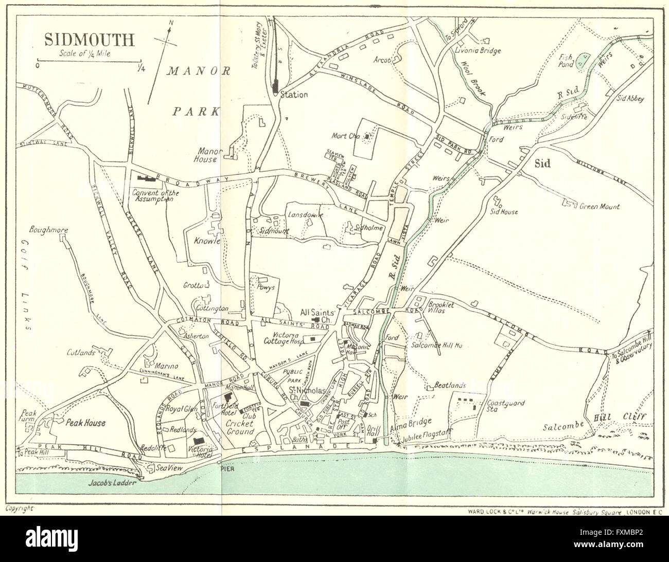
We have tried to find as much evidence as possible from maps but it is difficult to share it all with you because of copyright issues. We hope the selection below will be of interest.
.

Here are links to more maps online – which are copyrighted:
devon-plan-of-sidmouth-1929-vintage-map-FXMBP2.jpg (1300×1093)
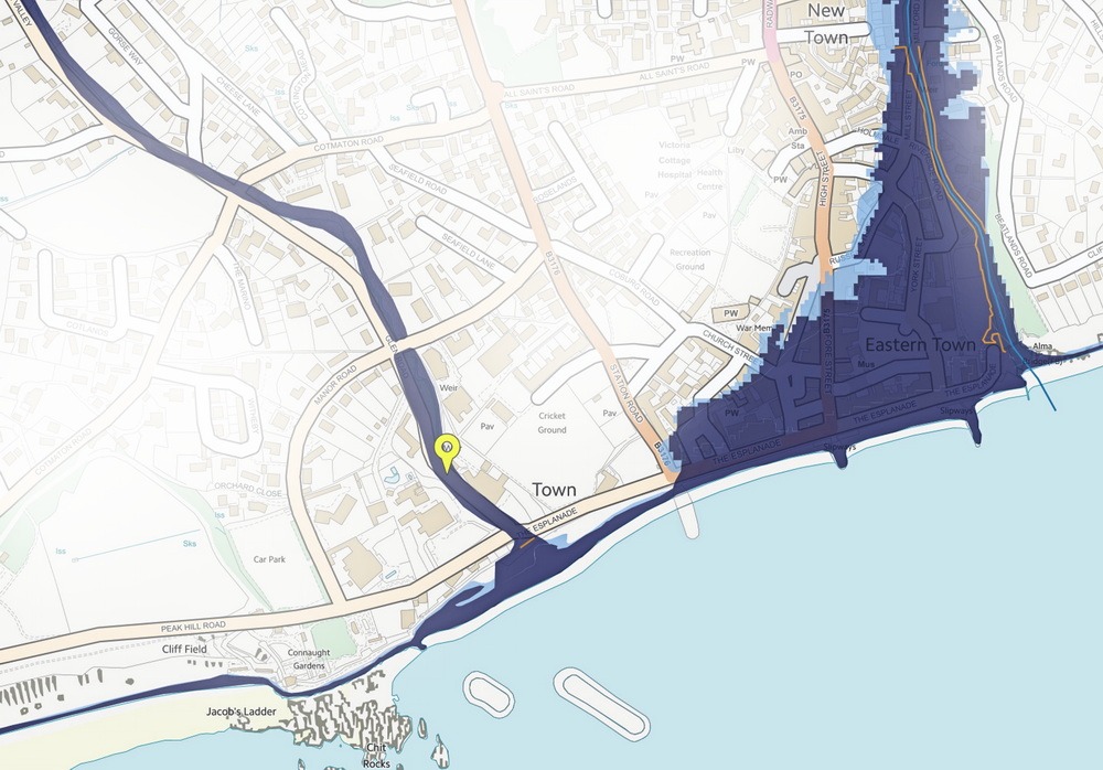
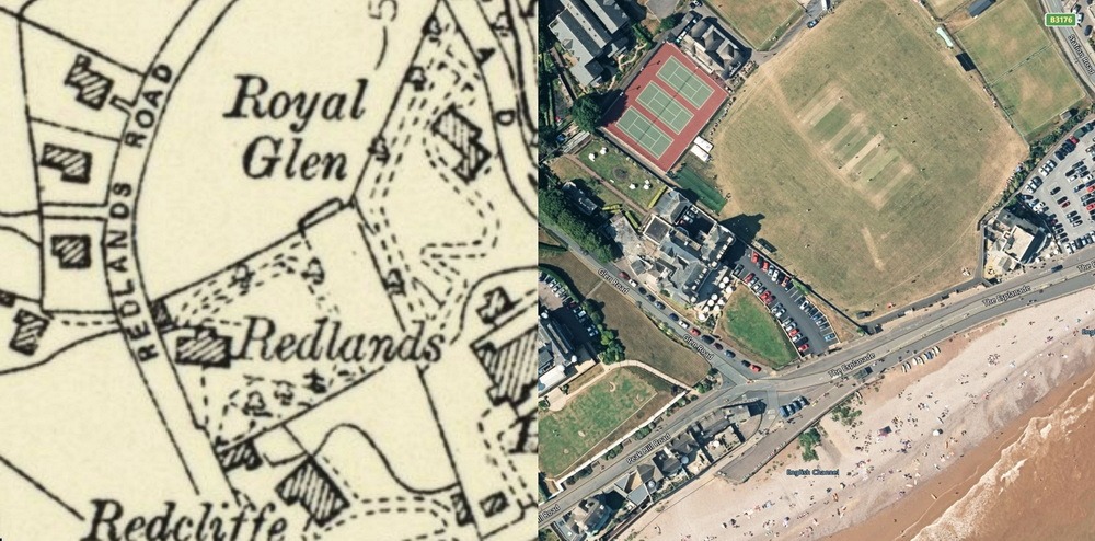
The images below show a split image of the position of the end of Glen Goyle, and a flood map showing how it will collect and drain water from the surrounding land in an extreme event.